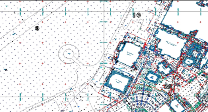
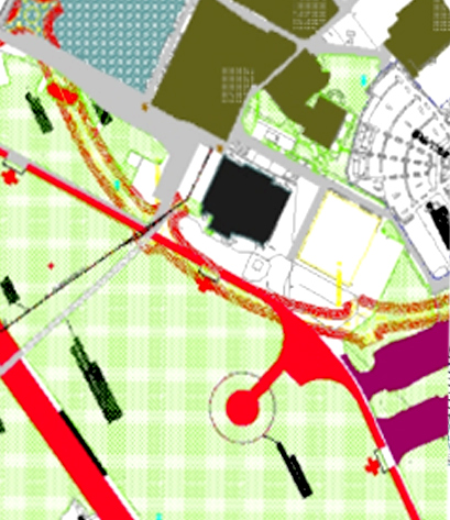
All of our surveys can be located to an ordnance survey grid using GPS. To provide this service we use state of the art technology; using static stations or real time kinetic tracking.
CSL Surveys.com can also provide a re-coordination service. If there is a requirement for an old survey to be re-coordinated to OS (even if it is not one of our original surveys, or is devoid of any physical stations), then we will use all our knowledge and expertise to ensure it is placed firmly into the 21st Century.
If a client knows, in advance, that he requires this information; we use real time kinetic tracking. This allows us to move with the GPS and track our position as we move; thus surveying directly to ordnance survey.


